
檔案:Nouvelle-Calédonie collectivity location map centered.svg

此 SVG 檔案的 PNG 預覽的大小:寛七八四高六〇〇微格。 他晰:寛三一四高二四〇微格|寛六二八高四八〇微格|寛一〇〇四高七六八微格|寛一二八〇高九七九微格|寛二五六〇高一九五八微格|寛一〇一七高七七八微格。
全幅 (SVG檔,貌有像素一〇一七矩七七八,幅一四四 KB)
概
| 拍攝地點 | | 位於此地的本圖片與其他圖片: OpenStreetMap |
|---|
| 述 |
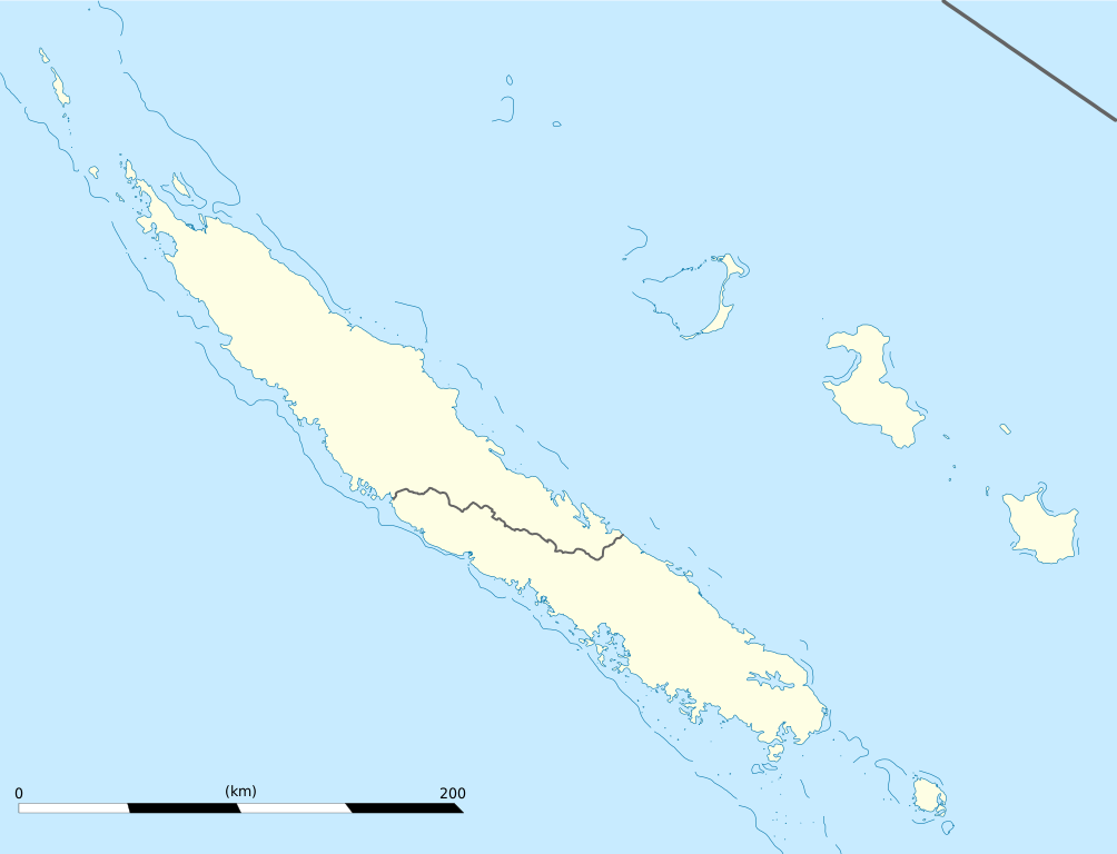
English: Blank administrative map of the territorial collectivity of New Caledonia, France, for geo-location purpose.
This is a map centered on the main islands. For a general map allowing to geo-locate the remote islands, see below. Français : Carte administrative vierge de la collectivité territoriale de Nouvelle-Calédonie, France, destinée à la géolocalisation. Ceci est une carte centrée sur les îles principales. Pour une carte générale permettant la géolocalisation des îles isolées, voir plus bas. Equirectangular projection, WGS84 datum
Geographic limits of the map:
|
||
| 期 | |||
| 碼 |
己作
|
||
| 作者 | Eric Gaba (Sting - fr:Sting) | ||
| 准 (重用此檔案) |
|
||
| 其他版本 |
Derivative works of this file: Drapeau Province Nord Nouvelle Calédonie.svg
|

權
我,本作品的著作權持有者,決定用以下授權條款發佈本作品:
此檔案採用創用CC 姓名標示-相同方式分享 3.0 未在地化版本授權條款。
- 子可:
- 享 – 複製、發佈和傳播本作品
- 重改 – 創作演繹作品
- 惟需遵照下列條件:
- 享 – 您必須指名出正確的製作者,和提供授權條款的連結,以及表示是否有對內容上做出變更。您可以用任何合理的方式來行動,但不得以任何方式表明授權條款是對您許可或是由您所使用。
- 共享 – 如果您利用本素材進行再混合、轉換或創作,您必須基於如同原先的相同或兼容的條款,來分布您的貢獻成品。

|
眾皆可在自由軟體基金會(Free Software Foundation;)所刊之GNU自由文檔協議證書1.2或之後版本規限下,抄、刊及/或修此圖,無他限。
遵守免責聲明。 |
您可以選擇您需要的授權條款。
檔誌
揀日尋檔。
| 日時 | 縮 | 度 | 用戶 | 註 | |
|---|---|---|---|---|---|
| 今 | 二〇〇九年一月二一日 (三) 一九時〇九分 | | 一〇一七矩七七八(一四四 KB) | Sting | == Summary == {{Location|21|06|00|S|165|51|00|E|scale:2000000}} <br/> {{Information |Description={{en|Blank administrative map of the territorial collectivity of New Caledonia, France, for |
檔所繫者
無頁連本檔也。
總文之用
下他共筆連本檔:
- af.wikipedia.org上之用
- als.wikipedia.org上之用
- an.wikipedia.org上之用
- ar.wikipedia.org上之用
- ast.wikipedia.org上之用
- az.wikipedia.org上之用
- ba.wikipedia.org上之用
- be-tarask.wikipedia.org上之用
- be.wikipedia.org上之用
- bg.wikipedia.org上之用
- bn.wikipedia.org上之用
- bs.wikipedia.org上之用
- ceb.wikipedia.org上之用
檢視此檔案的更多全域使用狀況。