
檔案:Canada Newfoundland and Labrador location map 2.svg

此 SVG 檔案的 PNG 預覽的大小:寛四一九高五九九微格。 他晰:寛一六八高二四〇微格|寛三三六高四八〇微格|寛五三七高七六八微格|寛七一六高一〇二四微格|寛一四三二高二〇四八微格|寛一五一二高二一六二微格。
全幅 (SVG檔,貌有像素一五一二矩二一六二,幅一點二五 MB)
| 述 |
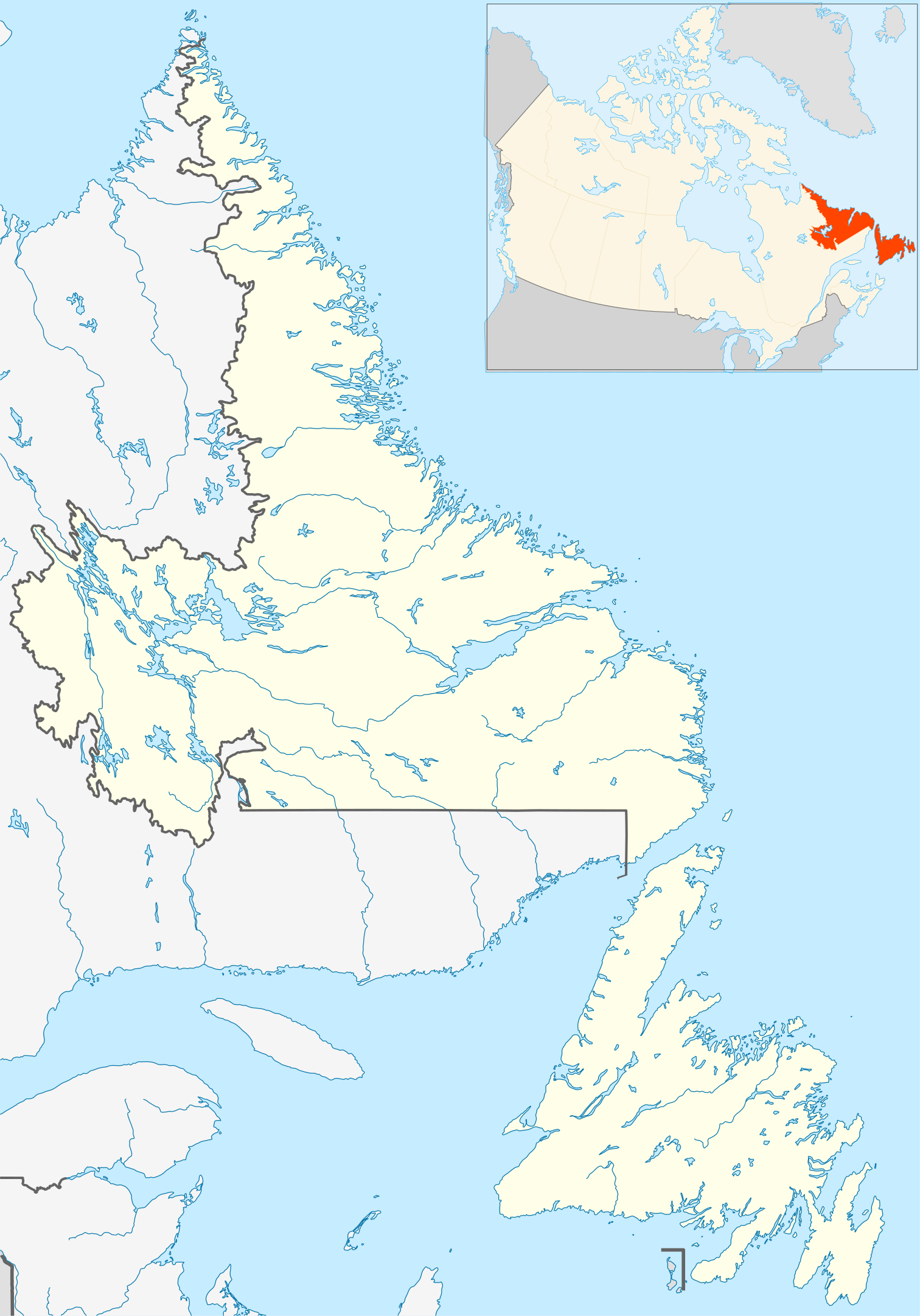
English: Newfoundland and Labrador Province within Canada.
Español: Provincia de Terranova y Labrador en Canadá. |
| 期 | |
| 碼 | Based on Image:Canada_Newfoundland_and_Labrador_location_map.svg |
| 作者 | Hanhil (talk) 18:06, 24 September 2009 (UTC) based on EOZyo |
| 准 (重用此檔案) |
我,本作品的著作權持有者,決定用以下授權條款發佈本作品: 此檔案採用創用CC 姓名標示-相同方式分享 3.0 未在地化版本授權條款。
|
檔誌
揀日尋檔。
| 日時 | 縮 | 度 | 用戶 | 註 | |
|---|---|---|---|---|---|
| 今 | 二〇〇九年九月二四日 (四) 一八時〇六分 | | 一五一二矩二一六二(一點二五 MB) | Hanhil | {{Information |Description={{en|1=Newfoundland and Labrador Province within Canada.}} {{es|1=Provincia de Terranova y Labrador en Canadá.}} |Source=Based on Image:Canada_Newfoundland_and_Labrador_location_map.svg |Author=~~~~ based on [[User:EOZyo|E |
檔所繫者
下頁連本檔:
總文之用
下他共筆連本檔:
- af.wikipedia.org上之用
- azb.wikipedia.org上之用
- ba.wikipedia.org上之用
- bg.wikipedia.org上之用
- ceb.wikipedia.org上之用
- en.wikipedia.org上之用
- Cree
- St. John's, Newfoundland and Labrador
- Corner Brook
- Cape Chidley
- Gander International Airport
- Mistastin crater
- CFB Goose Bay
- Nain, Newfoundland and Labrador
- Red Bay, Newfoundland and Labrador
- St. Anthony, Newfoundland and Labrador
- Hopedale, Newfoundland and Labrador
- Labrador City
- Twin Falls (Newfoundland and Labrador)
- Happy Valley-Goose Bay
- St. John's International Airport
- Chance Cove Provincial Park
- Burlington, Newfoundland and Labrador
- Wabush
- Weather Station Kurt
- List of people from Newfoundland and Labrador
- Cartwright, Newfoundland and Labrador
- Torbay, Newfoundland and Labrador
- Rigolet
- Port Hope Simpson
- St. George's Bay (Newfoundland and Labrador)
- Stephenville International Airport
- Deer Lake Regional Airport
- 2005 Newfoundland and Labrador municipal elections
- Bell Island Airport
- Black Tickle Airport
- Cartwright Airport
- Charlottetown Airport (Labrador)
- Churchill Falls Airport
- Clarenville Airport
- Exploits Valley (Botwood) Airport
- Fogo Aerodrome
- Goose (Otter Creek) Water Aerodrome
- Harbour Grace Airport
- Hopedale Airport
- Makkovik Airport
- Mary's Harbour Airport
- Nain Airport
- Natuashish Airport
- Port au Choix Airport
- Port Hope Simpson Airport
檢視此檔案的更多全域使用狀況。